Wilbur T. Wilson Map Collection
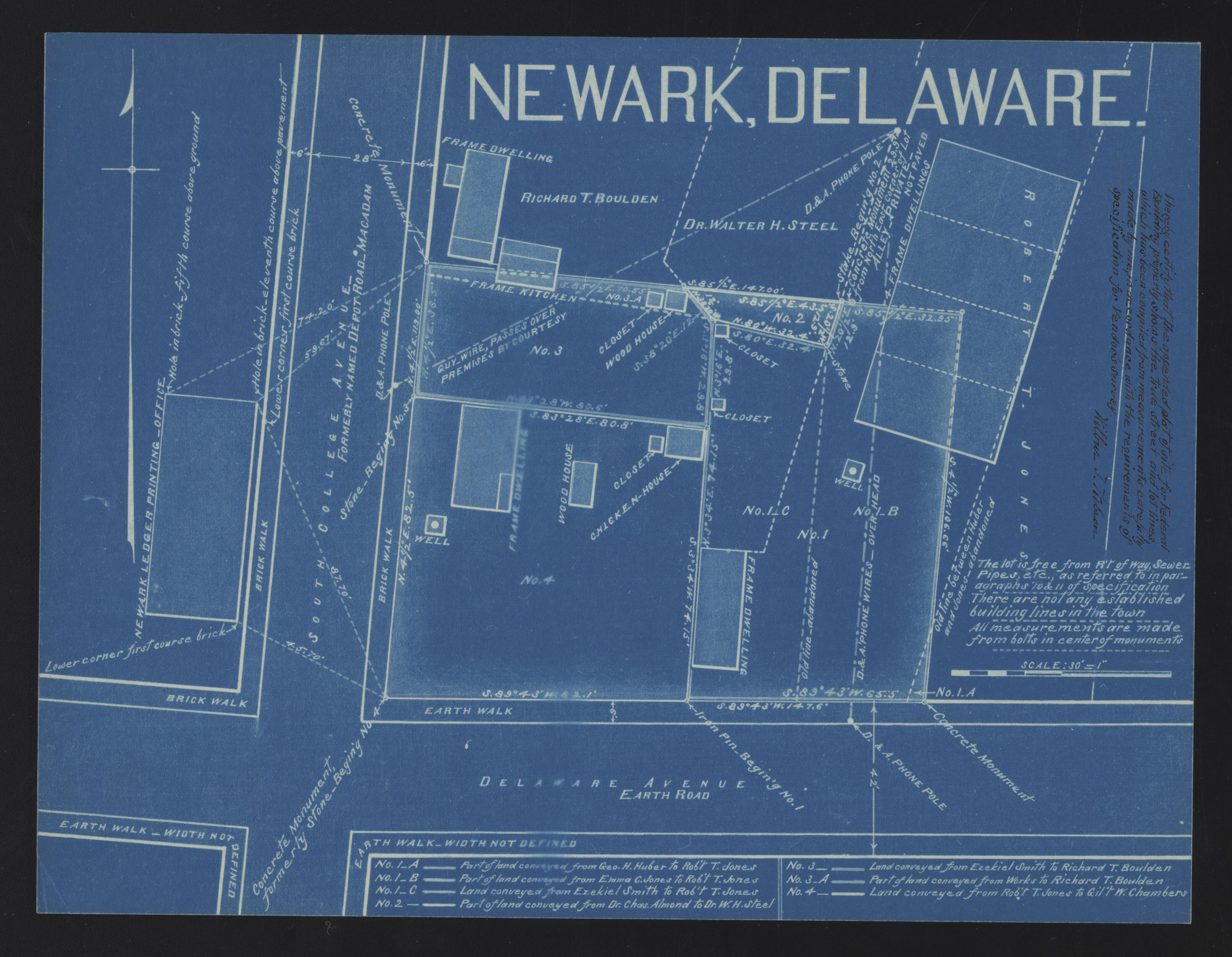
The Wilbur T. Wilson map collection concerns the work of the prominent Newark, Delaware, engineer and surveyor Wilbur T. Wilson (1856-1942). Dating from the late 1880s to 1941, the collection comprises four linear feet of notebooks and files, and approximately 500 maps. There are maps, plans, and cross-sections; blue prints and Van Dykes; graphite and ink on linen, paper, and tracing paper.
Jump to Top
Your search has also found results in related AM products.
Show me the resultsCopy the below link to share this set of search criteria with others. Using the link will allow others to see a list of search results on this site with the same parameters as those you've used.

